Flood Inundation Maps soon will be available to the public
USACE is updating the National Inventory of Dams that will include dam-related flood inundation maps (to be available later in November 2021) that can be accessed by the public, including downstream residents, business owners, and other potentially affected stakeholders.
Flood inundation maps for dams generally show the estimated areas of potential flooding as represented by a shaded zone that lays over the river or waterway intended to indicate how far water may extend beyond the banks/channel of the waterway. Flood inundation maps may also include further detail including flood depths, critical infrastructure data, and calculations of arrival time (how long it would take for water to reach certain areas downstream).
These maps are currently only available for USACE dams, but additional entities who manage dams will be able to share maps for their dams in the near future. Dam-related flood inundation maps in the NID are not intended or designed to be used for determining individual or personal flood risk but can show the overall potential flood picture within a community and support actions to minimize the impacts of or prepare a community for dam-related flooding. Most flood inundation maps developed by USACE show possible flooding that could occur in a limited set of scenarios. This information is not representative of real-time flooding and is not intended to predict whether flooding will actually occur.
Risk = probability x consequences.
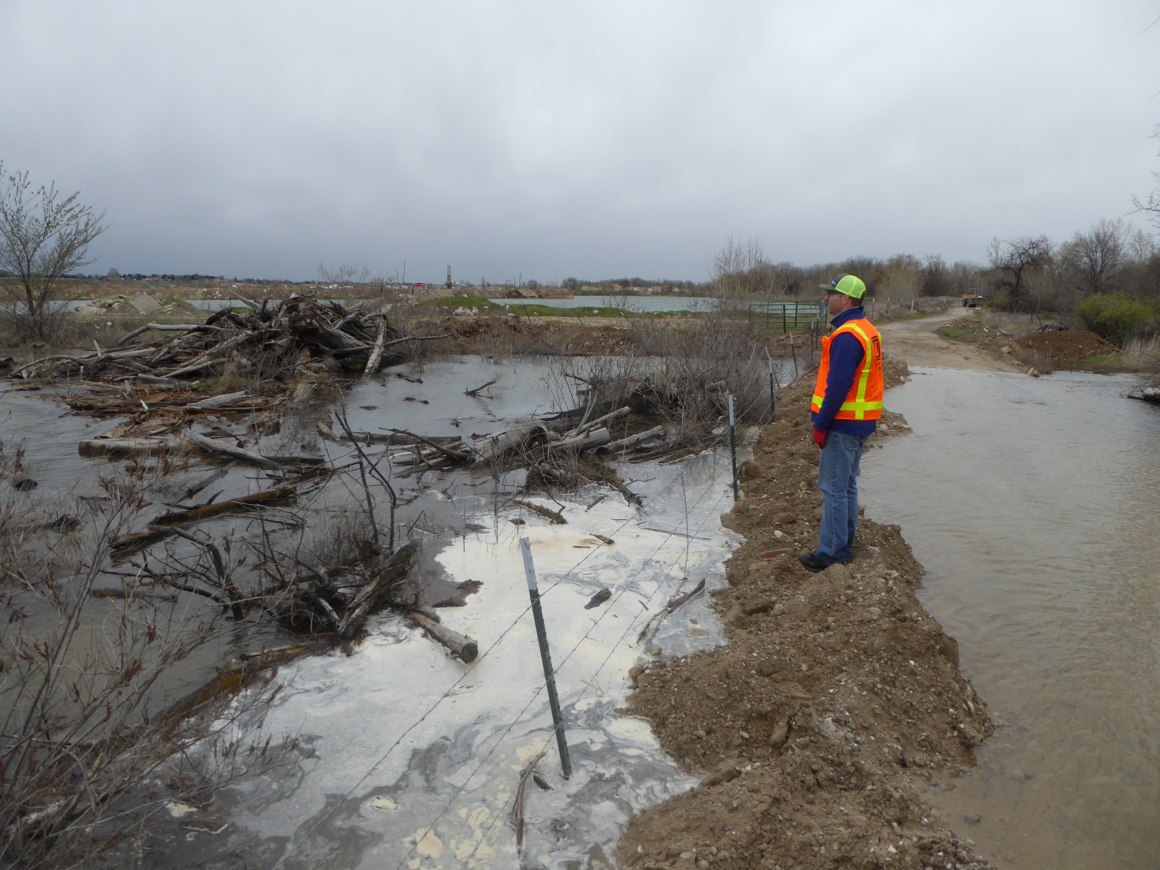
Dams can reduce flood risk, but they also create a risk to downstream communities.
Every 10 years USACE conducts a Periodic Inspection of dams. Following our most recent Periodic Assessment, we reaffirmed that Lucky Peak Dam’s physical condition and likelihood of failure were essentially unchanged and we have high confidence that Lucky Peak is in good shape and performing well.
This Periodic Assessment updated our consequence estimation to reflect the current population in the Treasure Valley and although the probability of dam failure is low, the consequences should a failure occur are high due to this increased population downstream of the dam.
Because of this potential consequences of a failure, Lucky Peak risk assessment has changed from moderate to high. The physical condition of Lucky Peak Dam is excellent and has remained essentially unchanged. The major component driving the change in classification is consequences due to updates in flood impact modeling since the initial risk assessment in 2008 and recent downstream development.
Lucky Peak Dam is as safe today as it was yesterday and USACE will continue dam safety operations, evaluations and inspections to optimize public safety. Be aware that the DSAC is a funding prioritization system, which allows USACE to prioritize dams where further study or actions are most needed. Lucky Peak will now have a higher priority for funding to examine the risk drivers and identify risk reduction measures. USACE will conduct an Issue Evaluation Study, likely beginning in Fiscal Year 2022, to further evaluate the dam and better quantify the existing risk.
Several factors contribute to the risk associated with Lucky Peak Dam. These include:
- A confined canyon downstream of the dam that concentrates flow and maintains flow depths until it discharges from the canyon.
- A large population center approximately 11 miles downstream of the dam where the river exits the canyon.
- Lucky Peak Dam stores a relatively large amount of water. Living with flood risk-reduction infrastructure such as dams and levees comes with risk. Know your risk. Please review the flood inundation mapping system when it becomes available later this year.